

Site planning automation using AutoCAD Civil 3D
The development of the territory of any design object begins with the development of a site plan. Automation of the development process for design discipline "Site Plan and Transport" significantly changes and simplifies the design methods of this discipline. Some of the invaluable advantages of an automated approach to design are quality enhancement of the work performed, reduction of time limits for design and, respectively, more rational working time management of a design specialist.
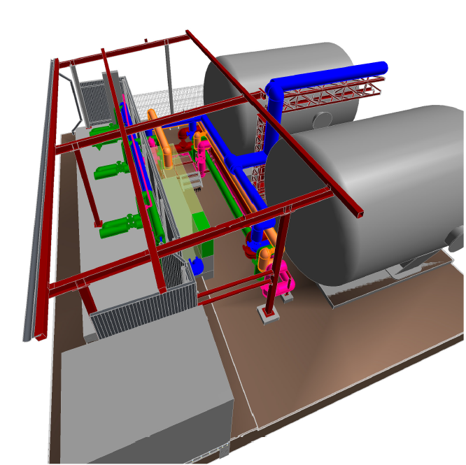
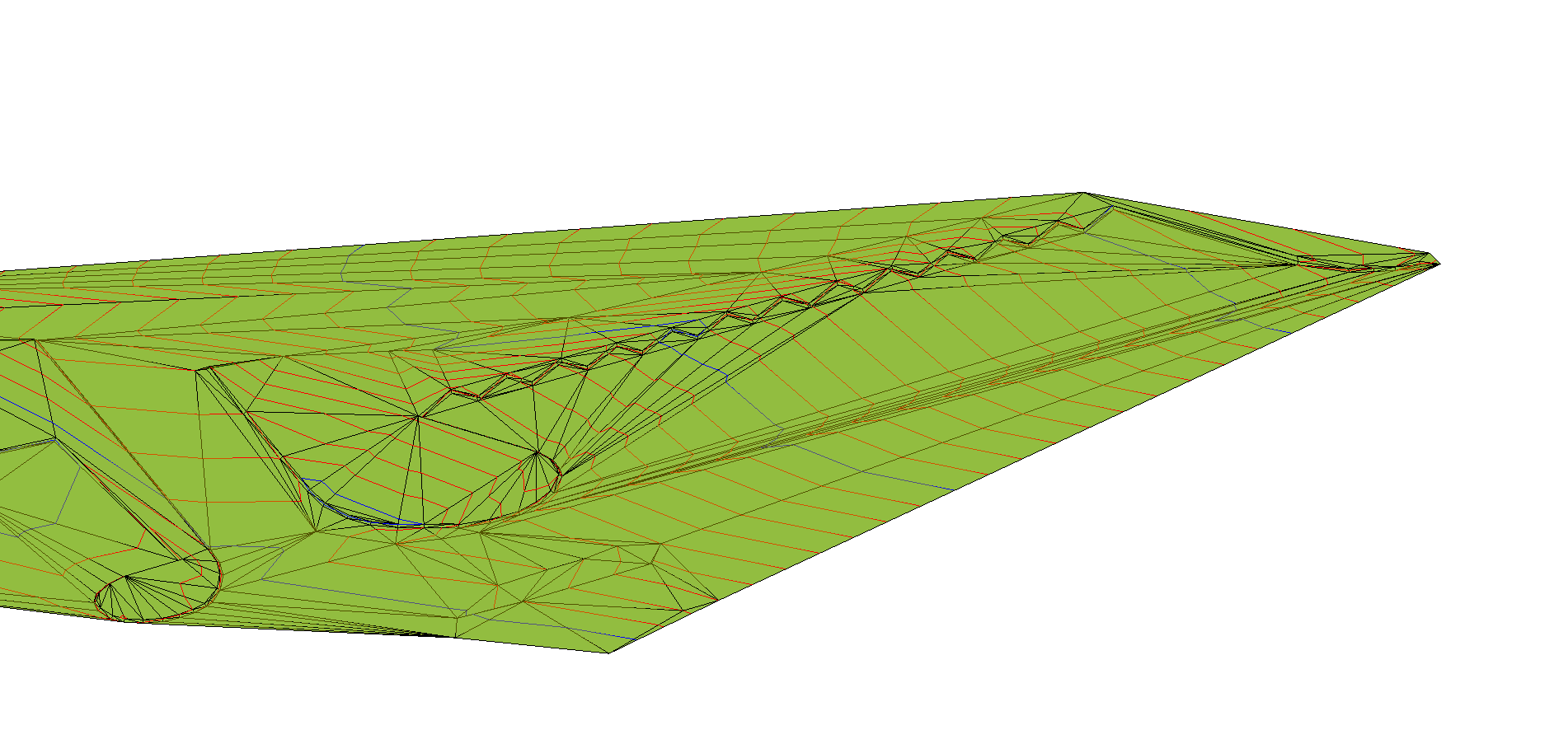
When using this design product, in the end we get a three-dimensional model of the object inscribed in a digital terrain model.
AutoCAD Civil 3D enables to execute such drawings as:
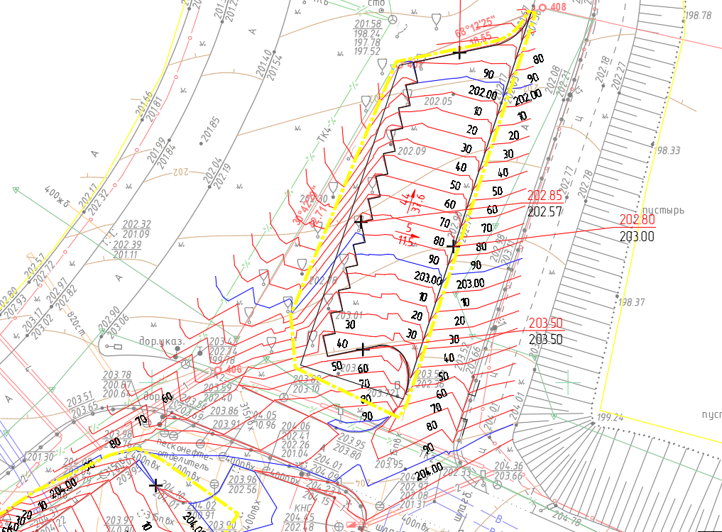
- Demarcation plan
- Drading plan
- Earthwork construction plan
- Improvement and landscapin
- MEP plan
In AutoCAD Civil 3D 2021, it is possible to install an adaptation package, which helps a site plan specialist to calculate and execute the drawings in accordance with the regulations in force.
When developing a site plan in AutoCAD Civil 3D, the main resource spending relates to the creation of a three-dimensional model, but the execution, if the first stage was correct, is carried out faster than 2D design. Marks for slopes, coordinates, elevations are placed automatically and adjusted to the required format. When changing the designed surfaces, all marks are updated without the participation of an engineer.
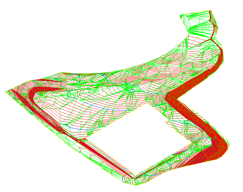
Example of a grading plan made using AutoCAD Civil 3D
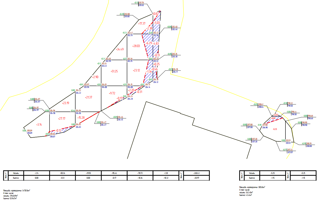
Calculation of the moved soil volume and execution of diagrammatic maps are especially noteworthy. Automation of this calculation significantly saves time for the development of the design discipline as well as minimizes designer's mistakes and increases the calculation accuracy.
The interconnection between AutoCAD Civil 3D and other Autodesk products, such as Revit and AutoCAD, Navisworks is well established, which allows you to create a unified BIM model of the designed object.
Like any other AutoCAD product, Civil 3D has its pros and cons, in particular, it seems more reasonable to use the program for large objects with complex terrain and (or) with additional Client's requirements to the accuracy of calculations. However, it is undeniable that a designer needs to adapt to new trends in the sector and change his mindset to get a competitive product on the market.